Using Windguru for Kite and Wing (2026)
Kitesurfing and wing foiling are sports where the weather dictates everything. You need to anticipate wind strength and swell to make the most of every session. You also need to anticipate tides to ensure your safety. Windguru is still the go-to source: it's free and comprehensive, and it's constantly updated. Kite and wing equipment is in our Kitesurf and Wing Foil worlds.
In this 2026 guide, we'll show you how to read and interpret Windguru tables. You'll learn to choose the right weather model for your riding style and cross-reference sources to plan your kite or wingfoil sessions without any unpleasant surprises.
Windguru displays wind and swell forecasts with hourly precision. It also provides tide forecasts, using models like AROME or GFS. Reading it correctly means picking the perfect spot, the right kite, and riding at the best possible time.
Table of Contents
Reading Windguru Tables
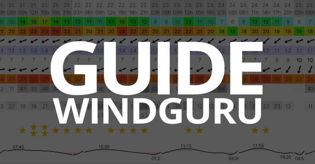
When you select your spot on Windguru, you'll see a weather forecast table. These colored lines contain all the information you need to decide when and where to ride. Here's how to read each piece of data, so you can plan your sessions with confidence.
Average Wind, Gusts, and Direction
Wind is the most important data on Windguru.
- Average wind (kts): This is the average wind speed. Aim for at least 12 to 15 knots for wingfoil, and 15 to 20 knots for classic kitesurf.
- Gusts: These are the maximum wind peaks. If gusts exceed the average wind by more than 10 knots, your session could become inconsistent or even dangerous.
- Wind direction: The arrow shows where the wind is coming from. Onshore (from sea to land) can sometimes make it tricky to get back out. Offshore (from land to sea) should be avoided unless you have a safety boat. Side-on (crosswind, slightly towards the coast) is ideal at most spots.
GlissEvolution Tip: On the Atlantic coast, a side-on wind between 18 and 25 knots is perfect for most 4 to 6 m² wings.
Swell, Period, and Wave Direction
The Swell height, Swell period, and Swell direction columns are essential for understanding sea conditions. Swell height (m) indicates the average wave size. Period (s) is the time between two crests; a long period of 10 s or more means powerful, spaced-out waves. Direction determines the orientation of the waves at your spot. For example, in La Baule, a 1.5 m swell at 10 s coming from the west will create beautiful lines for surfing or winging in the waves.
Clouds, Precipitation, and Temperature
Cloud and rain icons help you anticipate visibility and wind changes. Cloud cover (0% = clear sky, 100% = overcast sky) and precipitation (above 1 mm/h, expect continuous rain) are important. Temperature is useful for adjusting your wetsuit or windbreaker jacket. An overcast sky and light rain can calm thermal winds, while bright sunshine strengthens them.
Tides and Local Specificities
Some forecasts display a Tide line indicating high and low tide times. This is crucial for spots with sandbanks or strong currents. For example, at Pornichet, the spot works best at mid-rising tide with a west to southwest wind. Windguru doesn't always provide tide information. In such cases, supplement it with a site like marée.info or SHOM readings.
Weather Models to Know in 2026
Windguru relies on several meteorological models. Each has its own resolution, coverage area, and reliability, depending on the forecast duration. Understanding their differences helps you fine-tune your sessions based on the spot and wind type.
| Model | Resolution | Coverage Area | Recommended Use |
|---|---|---|---|
| AROME 1.5 / 2.5 km | Very fine | France & Western Europe | Get ultra-precise local forecasts for the next 48 hours. |
| ZEPHYR-HD 3 km | Fine | Western Europe | Coastal areas, with excellent coverage for the Atlantic. |
| HARMONIE 5 km | Medium | North-West Europe | This model strikes a good balance between precision and stability. |
| ICON 7 km | Medium | Worldwide | Reliable forecasts for 3 to 5 days. |
| WRF 9 km | Medium | Varies depending on your configuration. | Research and weather clubs |
| GFS 13 km | Large | Global | Long-term trends, up to 10 days out. |
A fine-resolution model (1 to 3 km) provides a more detailed forecast. It adapts to local phenomena like thermals, relief effects, or microclimates. A global model like GFS offers a broader view of trends over several days, but it's less precise for a specific spot.
The Windguru Mix (WG) model
Windguru created an exclusive model, the Windguru Mix (WG), to simplify reading. This system combines results from different models (AROME, GFS, ICON, HARMONIE, etc.). It produces a weighted average that is more representative of real conditions. It considers each model's resolution, update date and time, data consistency between models, and sometimes the model's historical performance in the region.
The WG model is ideal in 90% of cases. Use it for planning your session today or tomorrow when you don't want to manually compare multiple models. It's also great when you're discovering a new spot whose specificities you don't yet know.
GlissEvolution Tip: The WG gives a very good general estimate. However, always check high-resolution models (AROME 1.5 km or ZEPHYR-HD 3 km) before heading out. They are more precise for thermals, relief effects, and sudden wind changes.
Choosing your model based on your riding style
Beginner or recreational rider
If you ride occasionally or are just starting out, the Windguru Mix (WG) is more than sufficient. It gives you a reliable average of wind and conditions without comparing multiple models. Monitor the average wind strength, gusts, and the windiest hours. Tip: Don't rely solely on the Windguru rating; always check the wind direction. An offshore wind remains dangerous even if the numbers seem good.
Regular or local rider
If you ride frequently at the same spots (Pornichet, La Baule, Saint-Brévin), prioritize high-resolution models like AROME 1.5 km or ZEPHYR-HD 3 km. They better integrate relief effects, coastal currents, and local thermal breezes. Compare AROME and WG Mix forecasts to identify discrepancies. If both agree, you can be 95% confident.
Trip and travel abroad
For kite or wing trips outside Europe (Brazil, Dakhla, Cape Verde), rely on global models like GFS (13 km) or ICON (7 km). They provide a reliable trend over several days, which is useful for planning a road trip. Before a long journey, always cross-reference Windguru with a local app (Windy, Windfinder, MeteoBlue) to check the consistency of international models.
Our tips for reliable forecasts
1. Always compare several models. No forecast is infallible. Consult at least two different models (for example, AROME and WG Mix). If they show similar wind strength and direction, you can plan with confidence. On the Atlantic coast, AROME is often more reliable in the morning, while GFS better reflects trends over several days.
2. Monitor gusts and their deviation from the average wind. Gusts 10 to 15 knots higher than the average wind can make navigation unstable, even dangerous. An average wind of 20 knots with gusts at 30 knots often indicates conditions too irregular for an intermediate rider.
3. Check the tide before getting in the water. At spots like Pornichet or La Baule, sandbanks are exposed at low tide and influence the quality of the water. A rising mid-tide with side-on wind often offers the best conditions. Supplement Windguru with marée.info or SHOM readings.
4. Observe webcams and real-time readings. Webcams like ViewSurf or local stations (including the GlissEvolution anemometer in Pornichet) give you minute-by-minute wind reality. Comparing forecasts and readings allows you to adjust your kite, board, or cancel a risky session in time.
5. Consider the terrain and exposure of the spot. Each spot reacts differently depending on the wind direction. An offshore wind may appear clean on the map but be irregular and dangerous on the water. Conversely, a side-on may seem less strong on Windguru but be perfectly navigable thanks to the thermal effect.
Other Tools to Pair with Windguru
To fine-tune your forecasts, always cross-reference multiple sources. Here are the most reliable tools we use daily at GlissEvolution.
Winds-Up: Real-Time Wind Data
winds-up.com shows live wind readings from hundreds of French stations, including many along the Atlantic coast. You'll see average wind and gust strength, actual direction, and hour-by-hour changes. Add your favorite spots to get personalized alerts when the wind picks up.
ViewSurf: Live Webcams
Before you rig up, a quick look at the spot's webcam gives you a clear picture of the actual conditions. ViewSurf.com offers high-definition cameras at many French spots like La Baule, Pornichet, and Saint-Brévin. You can check the water conditions, how crowded it is, and the surface wind speed.
Other Handy Apps
Beyond Windguru, check out Windy for global wind and front visualization, MeteoBlue for detailed forecasts and trend analysis, and Windfinder, which is similar to Windguru but more visual on mobile. Pro tip: Install Windguru, Windy, and Winds-Up on your phone. This covers every situation, from a late afternoon thermal to a winter depression.
In summary
Windguru remains the go-to tool for kitesurf and wingfoil enthusiasts. Learn to read its tables and understand the different weather models, and you'll plan your sessions with confidence. Cross-referencing forecasts with real-time readings, webcams, and tides guarantees successful sessions. At GlissEvolution, we use Windguru every day to advise our riders, test equipment, and plan our outings.
FAQ: Windguru 2026
What's the difference between average wind and gusts?
Average wind refers to the consistent wind strength over a given period, while gusts are the maximum peaks. If there's more than a 10-knot difference between the two, expect unstable conditions.
Which weather model is most reliable for France?
The AROME 1.5 km and 2.5 km models, developed by Météo-France, are the most accurate for French and European spots. They factor in local topography and thermal breeze effects.
Is Windguru 100% reliable?
No, no forecast is ever 100% accurate. Always cross-reference multiple sources like Windguru, Winds-Up, and webcams, and check live readings before you hit the water.
How do I display tides on Windguru?
Some spots show a Tide line in the table. Otherwise, check marée.info or SHOM websites for local tide times and coefficients.
Is the Windguru Mix model enough?
Yes, in most cases. It provides a reliable average of different models, perfect for planning your daily sessions without getting bogged down in details.
Need help choosing your gear based on conditions?
Our experts help you match your kite and board to the weather at your spots, from light wind days to big sessions.
View wing and foil sectionContact usCall us
Source and limitations: Parameter interpretation is based on the official Windguru help. A forecast is always a model: terrain, thermals, obstacles, and front evolution can create local discrepancies. Cross-reference several models with live readings before each session.
Get live readings from our local spots: check out the spot weather guide and the Pornichet anemometer. Then grab the gear to make the most of it: kitesurf and wing foil.